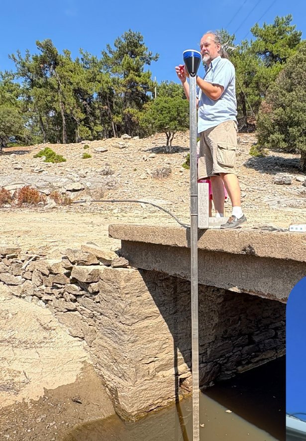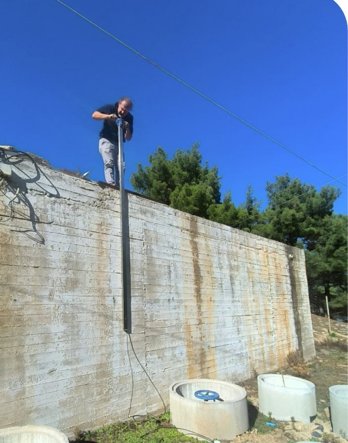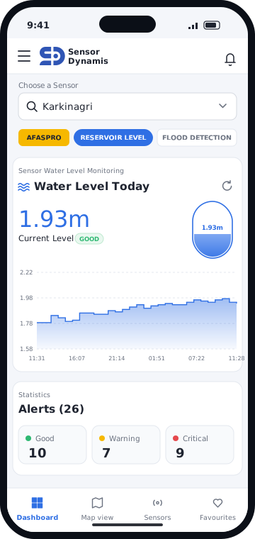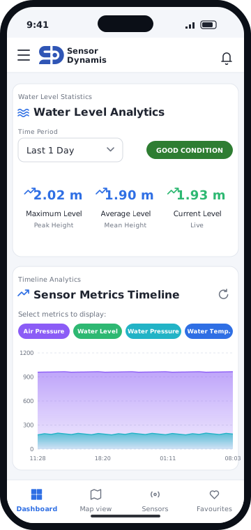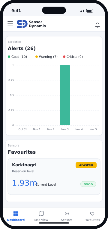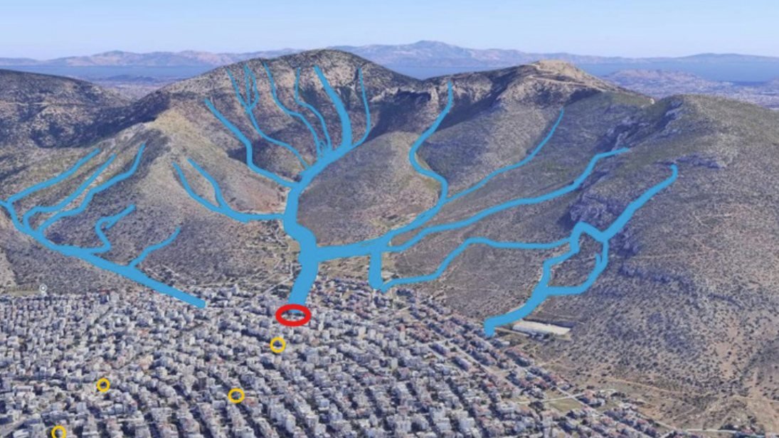
Forecasting gets the region right. Damage is decided locally, fast, at specific points — exactly where real-time visibility is missing. We put instruments there.
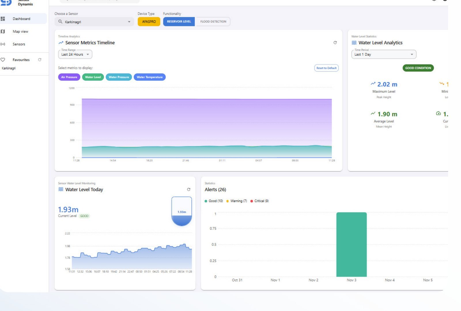
Forecasting nails the regional picture. But the damage is decided locally, fast, at specific points — exactly where real-time visibility is missing.
Water gathers and accelerates along terrain long before it reaches the street.
Low roads, crossings, culverts and drains decide who floods — not the regional average.
At the critical points, operators still rely on forecasts, phone calls and visual confirmation.
Each source feeds one model that mirrors how water moves across your terrain — so prediction reflects the ground, not only what a forecast predicts in the sky.
GFS, ICON and satellite feeds — the incoming storm, hours to days ahead.
| Hydrological skill | 60–70% |
|---|---|
| Lead time | 6 h – 10 d |
| Classification accuracy | 80% |
On-site rainfall and wind in real time — the local detail sparse forecasts miss.
| Hydrological skill | 80–90% |
|---|---|
| Lead time | 30 m – 6 h |
| Classification accuracy | 90% |
Upstream, in town, at the drains. Live level and rate-of-rise — the ground truth.
| Hydrological skill | 99% |
|---|---|
| Lead time | 30 m – 4 h |
| Classification accuracy | 99% |
In effect, a digital twin of how water moves across the terrain — continuously augmented with real-time data.
Figures as published by Sensor Dynamis for each data layer.
Monitors water levels, flow and quality across rivers, dams and reservoirs. Early flood alerts, water-scarcity detection, smarter decisions — built for resilience, ready to scale.
Connects to the European emergency number 112, so citizens can be warned through Civil Protection CBS and SMS rather than having to call for help themselves.
Localised real-time tsunami alerts, giving coastal communities the critical time to act. Predictive modelling, anomaly detection and real-time monitoring for situational awareness.
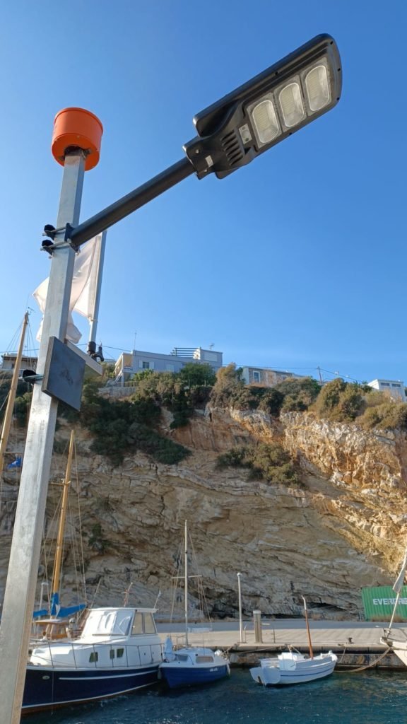
Building on the original measuring installation at the port of Agios Kirikos, Ikaria.
Real-time data and alerts for port management and wave-energy operations — enhancing safety and productivity while enabling accurate validation.
The direct bridge between our measurement work and WEC Epignosis.
Data fusion across the three layers, GIS terrain modelling, and a model that learns over time. Live water-level confirmation and rate-of-rise at each monitored point, with alerting thresholds you set.
The system provides data — it never decides.
Not a concept. Running for months with the local municipality, including at the island's highest-risk point.


It is impossible to tame the waves. It is possible to predict them — now with more precision than ever.
In weather bulletins, wave height is always approximate, derived from wind speed. In high seas the forecast amounts to a warning, with no exact figures for the swell itself.
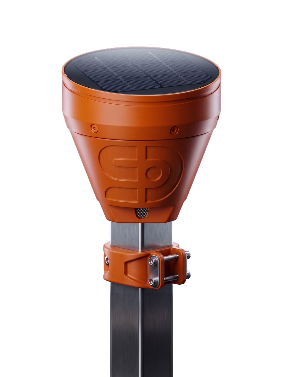
Our device, granted a patent by the Hellenic Industrial Property Organisation, measures wave height directly. It provides the measurements to the authorities that need them — port authorities, the navy and merchant marine — as well as to private users who care about the result: navigation, recreation, water sports, swimming.
It can be installed at any point a wave strikes: from ships and technical installations such as jetties and precast blocks, all the way to the shore.
Weather conditions are relayed wirelessly and in real time through a purpose-built web application, giving users round-the-clock access to:
| Wave height | Measured directly, to centimetre resolution |
|---|---|
| Tsunami-forming waves | Data on the waves that generate tsunami |
| Tidal | Tidal wave data |
| High water | Warnings for dangerous water levels |
| Swell | Wave motion not caused by weather at the time it is observed |
| Inland water | River, lake, rainfall and snow level measurements |
A focused 90-day pilot on the points that matter most to you — your locations, your data, your criteria. Prove it where it counts, then scale on the evidence.
For municipalities, civil protection and critical infrastructure.